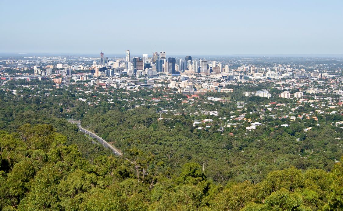
Experience the serenity of a bushwalk, without spending hours in traffic, on these 8 hikes in Brisbane. To save you time and sanity, we’ve selected the best hikes within 25 kilometres of Brisbane City.
Outdoor enthusiasts don’t need to travel far to experience the best hikes in Brisbane. In less than an hour’s drive return, you could be enjoying the sights and sounds of nature. And maybe even spot a koala or a kangaroo on these uplifting hikes around Brisbane.
This page may contain affiliate links. Read our full disclosure policy for more information.
Barrambin (Victoria Park), Herston
Barrambin (Victoria Park) is less than three kilometres drive from the city and has over 10-kilometres of walking tracks. It’s also the future equestrian cross country venue for the 2032 Olympic and Paralympic Games.
Barrambin was an important meeting and camping place for Aboriginal people who came from all over South-East Queensland for corroborees.
We started our stroll at the northern entrance across from the eye-catching Old Museum Brisbane, on the corners of Gregory Terrace and Brunswick Street. The first outdoor activity on the path is the Brisbane Parkour Park, which is suitable for beginners. Following the walking track south, on the left-hand side, is a large off-leash dog park, public aquatic centre, and tennis courts.
At this point, the walking track splits with the option to continue straight to a grassy picnic area and basketball courts. After leaving the south end of the park, follow Gregory Terrace for 700 metres to access 16 hectares of immaculate gardens at Roma Street Parklands.
Local tip: Look out for the Go Slow for a Mo’ Nature Wellness Trail signs which will guide you through exercises to help better connect with your surroundings.
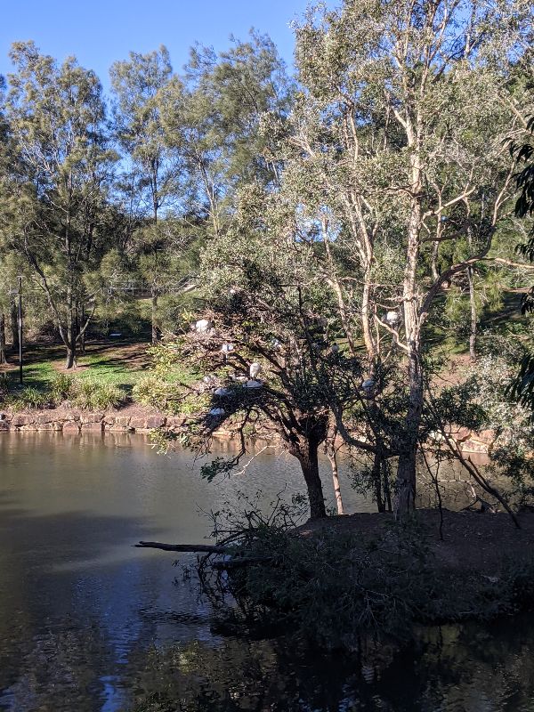
Otherwise, turn right at the fork in the path to cross over the Inner City Bypass (ICB) and find Ibis Island. This nesting place for the affectionately nicknamed “bin chicken” is a sight to see, even for locals. The pathways carry on west to connect with the Kelvin Grove campus of Queensland University of Technology (QUT) with a quality collection of cafes, restaurants, and bars.
Where: 454 Gregory Terrace, Spring Hill QLD 4000, Australia
How long: 30 – 90 minutes depending on your to-do list
Difficulty: Easy
JC Slaughter Falls, Mount Coot-Tha
Another of the closest hiking trails to the Brisbane CBD is J.C. Slaughter Falls. Located in the Mt Coot-Tha Reserve, this is one of over 70 different trails. It’s in the eastern part of the Brisbane Forest Park which extends to the D’Aguilar Range. We’ve chosen this bush walk because it’s a short walk with a reward of a waterfall (after recent rain) and connects to other popular treks.
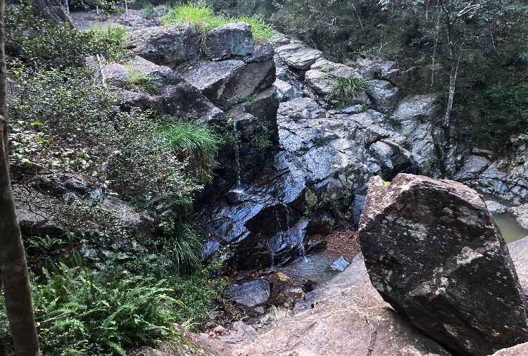
The name Mt Coot-tha comes from the Aboriginal word for honey that was produced by the native bees here.
If you decide to continue onto the summit, be prepared for a steep incline followed by incredible views of Brisbane City, Moreton Bay, and South and North Stradbroke Islands. You can complete a circuit by opting for the Mahogany Trail on the way back down. Previously, there was an Aboriginal Art Trail, but sadly, it was de-commissioned in 2019 and renamed as the Hoop Pine Track.
You can download the Mt Coot-Tha Forest track map.
Where: There is a car park at the picnic area of 37 Sir Samuel Griffith Dr, Toowong
How long: 30 minutes return to the falls or 60-90 minutes return to continue to the Mt Coot-Tha Summit Track
Difficulty: Easy.
Walkabout Creek, Enoggera Reservoir
Located on the eastern edge of D’Aguilar National Park is the Walkabout Creek Discovery Centre, a family-friendly natural sanctuary close to the city. We visited on a weekday and popped into the Visitor Centre to grab a map but you can also download the Discovery Centre Guide.
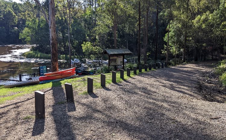
The trails aren’t well marked but it’s easy enough to find your way around. After exiting the Visitors Centre, we took the talking track down to the Enoggera Reservoir. If it had been a warmer day, I would have loved to hire a kayak or stand-up paddle (SUP) board. Passing the Dinosaur Dig, we walked onto the Waterside Track. After the Events Lawn, it merges onto the one-way Link Track. Following this to the car park, we doubled back, but you could also take the Hillside Track.
Parents with young kids will appreciate the nature play area and wildlife centre with ranger-led shows.
The name Enoggera is believed to have been taken from the Aboriginal word “Euoggera” for place of water or place of breeze.
The Enoggera Reservoir is open 6am-6pm daily and the Visitors Centre is open from 9am-4pm every day except Christmas and ANZAC Day.
Where: 60 Mount Nebo Road, Enoggera Reservoir with limited onsite parking. Or take the 385 bus from the city to The Gap park and ride.
How long: Less than one hour to walk all the trails in the Walkabout Creek Discovery Centre. Add about two hours for the Araucaria Track or continue on to D’Aguilar National Park for full-day hikes. Also, plan to stay longer if you want to swim, hire a kayak, have a picnic, or visit the Wildlife Centre.
Difficulty: Easy. The Link Track is wheelchair accessible.
Whites Hill Summit Track, Camp Hill
Whites Hill Reserve is one of the best bush walks in Brisbane for koala spotting. The only other place I’ve seen a koala in the wild is at Daisy Hill Conservation Park, 27 kilometres from the city compared to only 12 kilometres from the CBD to Whites Hill Reserve.
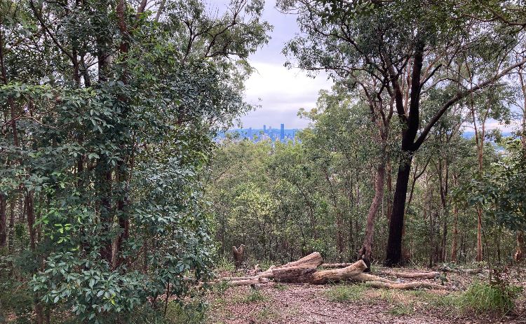
This 170-hectare bushland supports a critical rainforest and open eucalypt forest. In addition to koalas, you may see powerful owls, sacred kingfishers, velvet geckos, Brisbane short-necked turtles, and short-beaked echidnas.
After parking our car, we took the Tallowwood Track (450 metres one-way) to Whites Hill Circuit (565 metres) to the Whites Hill Summit for stunning panoramic views of Brisbane and the surrounding suburbs. Here you can read about the early 1900s history of Whites Hill when it had a tearoom and astronomy telescope.
Next, we followed the Acacia Track (250 metres) to Sankey’s Mountain Summit Track making a circuit onto the Brush Box Track, Shirleyana Track, and She-oak Track, which is where we spotted the koala while walking next to the quarry. This is an ideal spot, as you will be elevated and at eye level with any treetops.
You can download the Whites Hill Reserve Track map.
Where: Boundary Road, Camp Hill
How long: Approximately 90-120 minutes to complete all the tracks. If you only wanted to see Whites Hill Summit, this could be done in less than 30 minutes.
Difficulty: The Whites Hill and Sankey’s Mountain Summit Track are both easy and wheelchair accessible with assistance. The other tracks in the reserve are moderate.
Seven Hills Bushland Reserve, Seven Hills
Another open eucalypt forest close to White Hill is the Seven Hills Bushland Reserve. Enjoy the peacefulness of a nature reserve without having to travel too far from the city. This is a leisurely Brisbane bushwalk suitable for all fitness levels, families, and dogs.
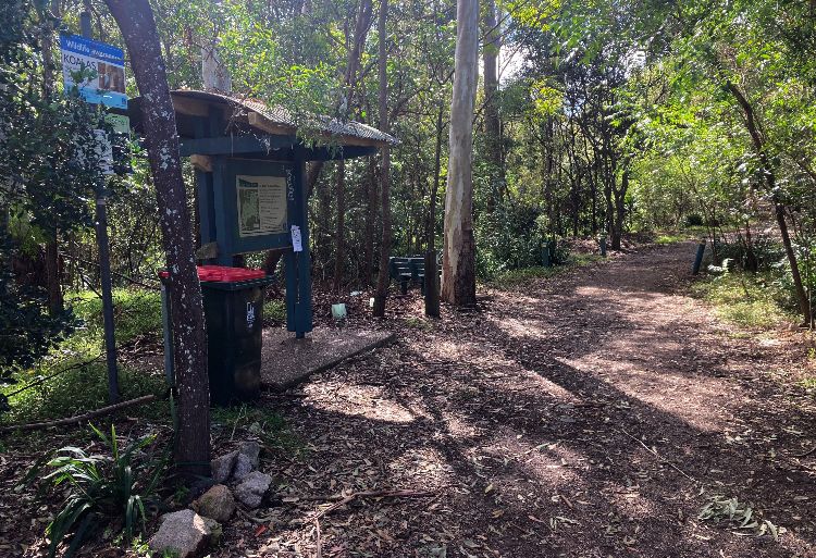
We recommend starting this bush walk from the Latina Avenue entrance, where there is a trail map. The paths are not named, however, you can get a sense of potential connections to other tracks. We set up with a general intention to make a circuit and only relied on our sense of direction to get back. You’ve always got Google Maps if you feel disorientated.
Where: There is street parking for the Latina Ave Trail Head at the end of Latina Avenue, Seven Hills
How long: 30-45 minutes to complete a circuit.
Difficulty: Easy.
Karawatha Forest Park, Karawatha
One of the most extensive hiking trails and largest areas of bushland in Brisbane is at Karawatha Forest Park at over 900 hectares of open forest.
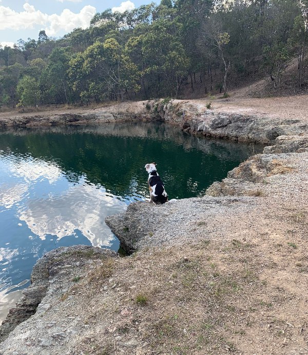
Like Walkabout Creek, Karawatha Forest also has a discovery centre, which is a handy starting point. Kids will love Queensland’s first nature play space with interactive forest experiences and outdoor climbing features.
From there, you can choose your own adventure from Poet’s Rock to freshwater lagoons. Keep an eye out for red-necked wallabies, swamp wallabies, eastern grey kangaroos, and gliders.
Karawatha Forest Park is on Yuggera land. The Yuggera people still live close and are connected to the forest today.
You can download the Karawatha Forest Park map or pop into The Karawatha Forest Discovery Centre is open Tuesday to Sunday from 9am-4pm.
Where: 149 Acacia Road, Karawatha, QLD
How long: The shortest walk from the Discovery Centre is the 1.2-kilometre Ironbark Circuit which takes up to 30 minutes to return. You could continue on to make it a full day hike or anything in between
Difficulty: Out of 30 trails, there are only four moderate tracks (Entolasia, Casuarina, Rocks, and Echnida with a creek crossing) and two difficult trails (Curtisii and Lomatia) with the rest an easy hike.
Wolston Creek Loop, Riverhills
If you don’t spot any kangaroos at Karawatha Forest, head to Wolston Creek Bushland Reserve. This is a 5.6-kilometre circuit that welcomes hikers, mountain bikers, bird watchers, and dog walkers.

There are frequented kangaroo sightings reported by walkers throughout the day. The usual times are early morning or late afternoon, but we came in the early afternoon and saw at least a dozen kangaroos at various sections of the trail.
Where: 43 Riverpoint Blvd, Riverhills
How long: 60 – 90 minutes
Difficulty: Easy.
Rocks Riverside Park, Seventeen Mile Rocks
We discovered this popular walk while staying in Jindalee (southwest of Brisbane). But if you are staying in the Brisbane CBD, then it’s a twenty-five-minute drive down the M5 to reach Rocks Riverside Park. This was previously a quarry for a cement company repurposed into a shared lifestyle area.
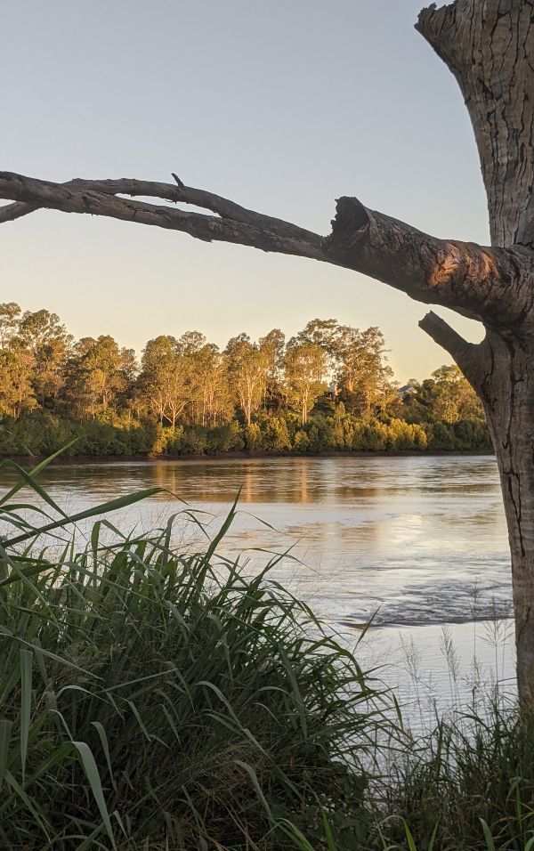
Opening hours: The Rocks Riverside Park car park and public toilets are open daily from 6.30 am – 7 pm.
Within the park, there’s a community garden, play area, coffee shop, and wharf with a scenic lookout over the Brisbane River. If you follow the track along the river, you’ll be rewarded with more expansive views.
Where: The car park is on Counihan Rd, Seventeen Mile Rocks
How long: 60-90 minutes to walk 5.4 kilometres from the Oxley Wharf to Pioneer Belz Park and back You could choose to make this shorter by turning around earlier.
Difficulty: Easy.
Looking for more day hikes near Brisbane? Try these National Parks
Lamington National Park
Lamington National Park 110km from Brisbane, offers 130km of formed tracks through gorgeous UNESCO listed Gondwana Rainforests.
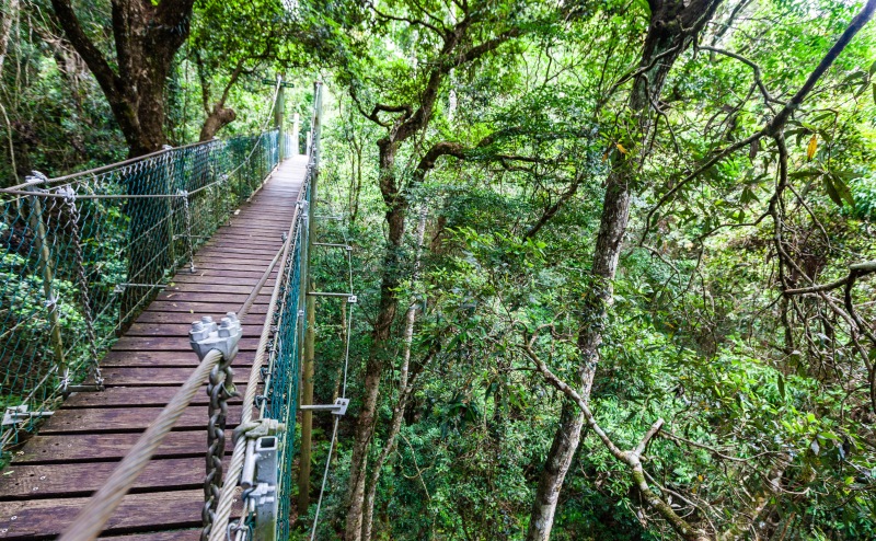
Explore the lush rainforest of Lamington National Park on a guided tour from Brisbane.
Springbrook National Park
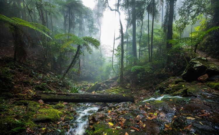
Visit the National Bridge Glow Worms at Springbrook National Park or if you don’t have a car, join a tour from Brisbane.
Glass House Mountains, Sunshine Coast
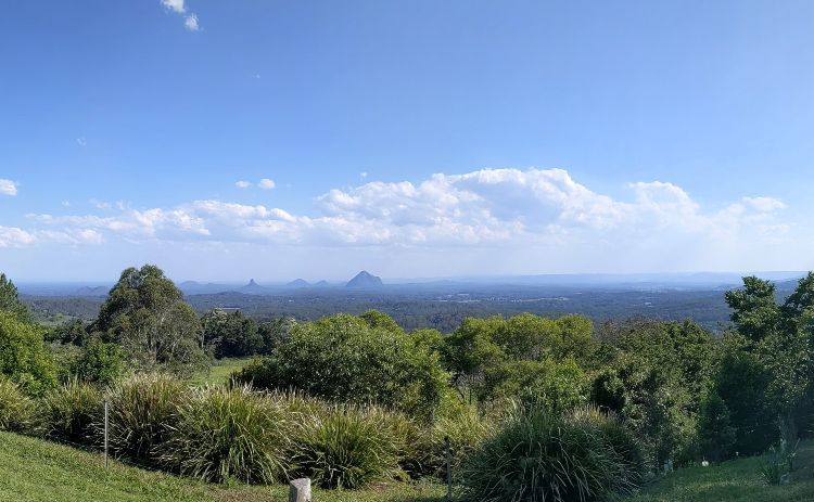
See the best hikes near the Glass House Mountains, including the Kondalilla Falls Circuit, with our self-drive itinerary for the Sunshine Coast Hinterland.
Got a question about hiking near Brisbane? Know a good hike we should add? Head over to our Australia Travel Planning Facebook Group and join the conversation.

