Looking to explore the best NSW coastal walks? So were we, and in the last year, we set a goal to complete as many as we could. Read on for our top tips and start planning your own coastal walking holiday soon.
This page may contain affiliate links. Read our full disclosure policy for more information.
Given the crazy couple of years life has thrown us recently we are pleased to have been able to sample all but one of these great seaside hikes. The Light to Light walkwalks on the far south coast, which was closed for an extended period due to fire damage of summer 2020 and remains on our list.
Some of the walks we only managed a portion of, but that’s the thing with the multi-day walks; there is no rule you have to complete than in one go, you can do them as you have time rather. A half-day walk makes a great way to break up the Sydney to Brisbane drive.
Walking Coastal New South Wales from North to South
We have listed the trails north to south. Many are in National Parks, meaning your dog won’t be welcome, but some are local council efforts, and where your four-legged friends are allowed, we have included a note. All are experiences we recommend highly and would repeat.
Cape Byron Lighthouse Walk
One of the classic east coast walks, that is as popular with locals as it is with visitors. If you begin from the centre of Byron Bay and make your way south, which we did, it’s an excellent 4km workout each way.
Cape Byron is Australia’s most easterly point, the first place in the country to see the sun. Early risers will find a sunrise walk is the best way to take in the view. It’s also significantly quieter than it is an hour or two later. We tried, but an overnight storm delayed us a bit, and we missed sunrise by about an hour.
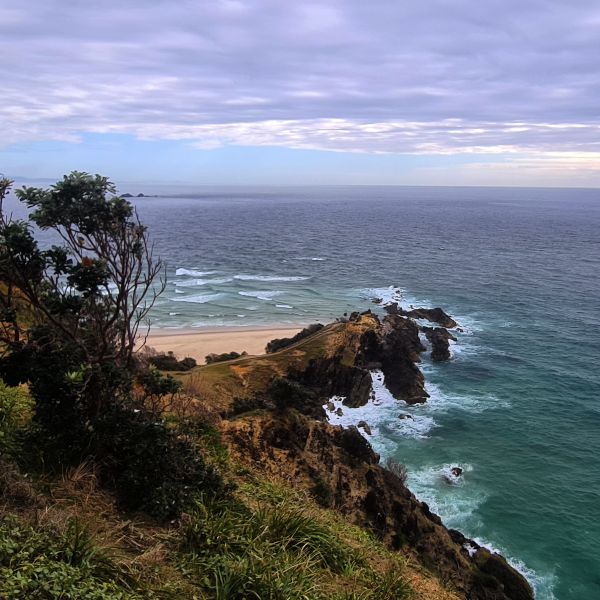
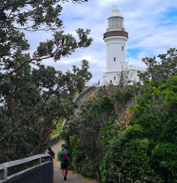
We began our walk from Clarkes Beach and made our way to The Pass and then south to the lighthouse and Cape Byron. While this is not a hard walk, it does give you a good workout!
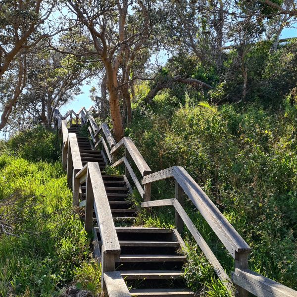
There are stairs, lots of stairs, and you cover them without many recovery breaks in between. They certainly got my heart pumping after a few weeks of inactivity, but if you stop at all the lookouts and take time to enjoy the view (and catch your breath), it’s very manageable. If you have bad knees, take walking poles or perhaps give it a miss and drive up for the scenic view 😉
Along the way, you will see:
- Captain Cook Lookout – nice spot for a picnic or to leave anyone in your group not up for the climb.
- Fishermans Lookout at The Pass – watch the surfers do their thing
- Wategos Beaches – If you are still trying to wake up, stop at Raes for coffee
- Cape Byron – the most easterly point on the Australian mainland
From Cape Bryon, the steep steps begin – lots of them.
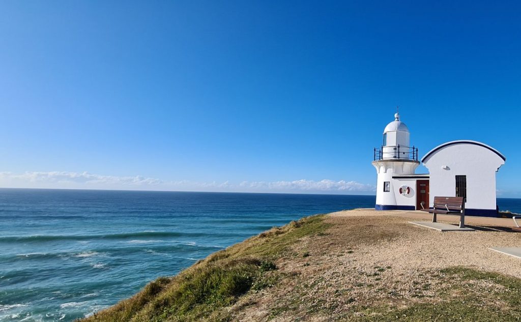
Cape Byron Lighthouse has the distinction of being the most powerful lighthouse in Australia.
If you have not already eaten, there is a cafe at the top. Alternatively, keep going back downhill to The Pass Cafe.
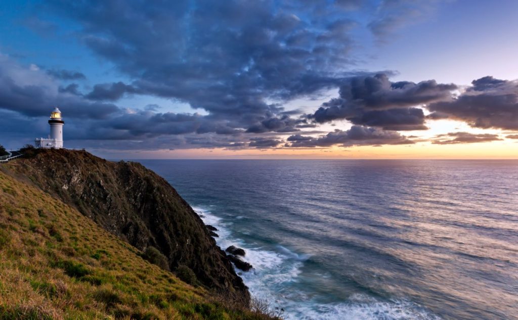
Rather than retrace our steps and walk against the tide of people now making their way up, we took the footpath along the road. An easy downhill walk that met up with Palm Valley Drive and onto the boardwalk near the Pass.
This is certainly one of the NSW coastal walks that lives up to the hype.
Length: 4km return
Suggested time to complete: 2 hours
Public transport rating: Easy – start walking from the centre of town.
Google map reference
Yuraygir Coastal Walk
The Yuraygir Coastal walk traverses the largest strip of Coastal National Park in NSW. Located between Yamba and Coffs Harbour, the track is a significant site for the Yaegl People, first nations owners of the area. The hike is known for its coastal emu habitat and offers spectacular cliffs, pristine beaches and picturesque lake views.
We recommend you hike north to south to avoid having the sun in your eyes all day. If you plan to complete the walk over four days, you will be pleased to know there are eight campgrounds accessible by car and five walk-in campsites. This is a great way to explore the North Coast region.
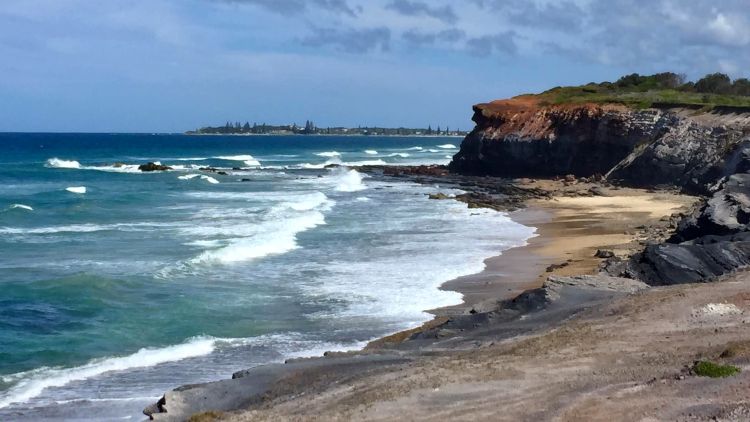
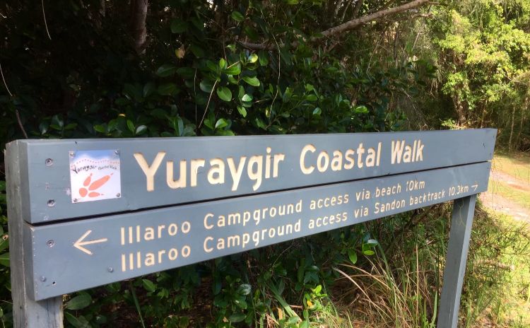
The Angourie Track is a section of the Yuraygir Coastal Walk. We walked the first section a few years ago and hope to complete it next year. This is not a particularly hard walk physically unless you hate walking on sand as much as I do!
If you don’t want to carry your own pack, you can join an organised walking tour that includes catering and accommodation.
Length: 10km
Suggested time to complete: 3.5 hours
Public transport rating: You can take a bus from Grafton to the start of the walk at Angourie.
The Solitary Islands Coastal Walk – Coffs Coast
The Solitary Island walk is a 60km stretch between Sawtell in the south to Red Rock on the northern beaches of the Coffs Coast. One of the longer NSW Coastal walks it gives you beaches, rainforest and coastal villages. It’s easy to complete this walk over a few days as there’s no shortage of places to stay along the way.
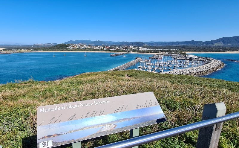
We based ourselves at the Big 4 Park Beach Coffs Harbour, and while we didn’t get to complete the whole walk due to bad weather, but we did do several sections and can’t wait to get back. Woolgoolga would also make a good base and is a charming beachside town.
There is a lot of beach walking on this trail, so be sure your legs are up to it! Walking at low tide will give you some hard sand to walk on and your legs a bit of a rest.
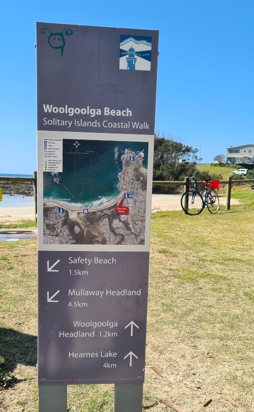
The official site suggests four hours of walking each day over four days. If you only have time for one day, we suggest the section from Woolgoolga Village to Moonie Beach. And don’t miss the hike to the top of Muttonbird Island overlooking Coffs Harbour Port.
Length: 60km
Suggested time to complete: 4 days
Public transport rating: Not great, but the Woopi connect service will get you to some of the walk starting points.
Before you leave this area try to stop by the Waterfall Way which is our favourite road trip in Australia.
Port Macquarie Coastal Walk
This walk starts in the centre of town and follows the coast and beautiful Port Macquarie Beaches all the way to Tacking Point Lighthouse, nine kilometres away. On our visit, we were staying at Flynns Beach, which is about halfway, so we decided to split it over two days.
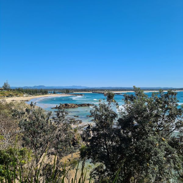
On the first day, we walked south to Tacking Point and made a detour stop at the Sea Acres National Park. We started at Flynns Beach then on to Nobby’s Beach and Shelly Beach, a 2.2km section that we felt was one of the most picturesque of the whole walk.
From here, we headed to Sea Acres Visitors Centre, where sadly, we were too late for lunch. So fuelled only with a couple of muesli bars, we continued to Tacking Point 2.7km south.
The next morning after breakfast at Flynns Beach, we headed north to Rocky Beach, Oxley Beach, and Flagstaff Hill (2.2km). After a quick break at Town Beach (2km), we walked the Breakwall before swimming at Town Beach on the way home. Check the official track details here. You can also read about our visit to Port Macquarie here.
Length: 8-9km
Suggested time to complete: 3-4 hours
Public transport rating: Good, buses run along the length of the walk
Forster Bicentennial Walk
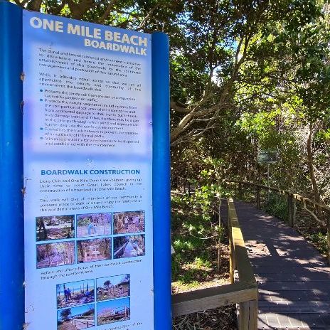
Bicentennial Walk and Frewin’s Walk takes in four beaches between Forster Bridge and Main Beach to Bennett Head and on to One Mile Beach. Certainly one of the less challenging NSW coastal walks on our list, most people will find it relatively easy.
On our recent visit, we took this walk with my sister, a local, who has been running walking tours along this route for over 20 years. We have always enjoyed this track, but her added insight really helped us better understand the environment here and how it has changed over the years.
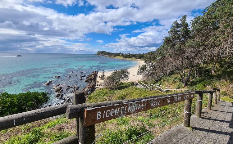
This is one of the best ways to appreciate the beauty Forster has to offer
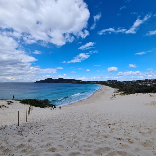
Length: 4km
Suggested time to complete:
Public transport rating: There are local buses, but we walked to and from our accommodation.
Tomaree Summit Walk / Tomaree Headland Walk
The Tomaree Headland Walk is a brand new route currently under development in Port Stephens. Construction is expected to begin in late 2021 with new tracks and lookouts constructed in Tomaree National park and include new sections of track to provide a connected walk from Tomaree Head to Birubi Point.
Until the official walk is complete, you can enjoy the Tomaree Head Summit walk. A short but very steep 2.2km return walk to the top of Tomaree Headland which sits 162m high and offers 360-degree views. From the top, you can see Zenith, Wreck and Box Beaches, and Fingal Island.
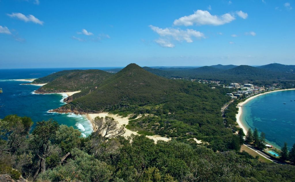
In the distance is Cabbage Tree Island, and of course, Port Stephens Lighthouse is a feature. The walk will get most of us huffing and puffing, but take your time and know the views at the top are work every breath!
You can add another 2.5km to your walk by completing the Fort Tomaree walk out to the old gun placements. This is a much less challenging option and suitable for most fitness levels.
Length: 2.2-kilometre
Suggested time to complete: 2 hrs for the summit, 1.5 for the fort.
Public transport rating: A car is your best bet.
Newcastle’s Bathers Way
This short but picturesque walk is a must when visiting the steel city. Beginning at Merewether Ocean Baths and following the coast to Nobbys Beach, the trail is the Hunter Coasts answer to Sydney’s Bondi to Coogee walk.
Forming part of the Great North Walk, the Bather’s Way includes many of the must-see sights along this part of the coast, from the historic ocean pools at Newcastle Beach and Merewether Beach to the stunning Memorial Walk, an elevated platform that features installations remembering the efforts of local servicemen and women.
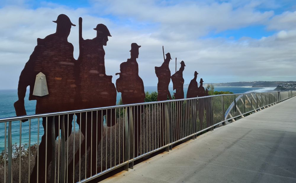
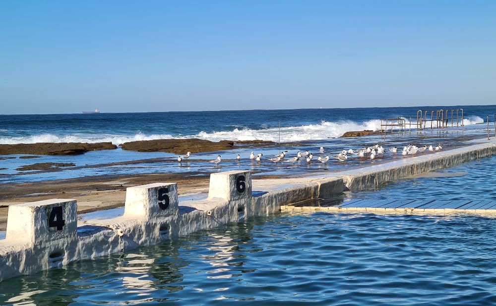
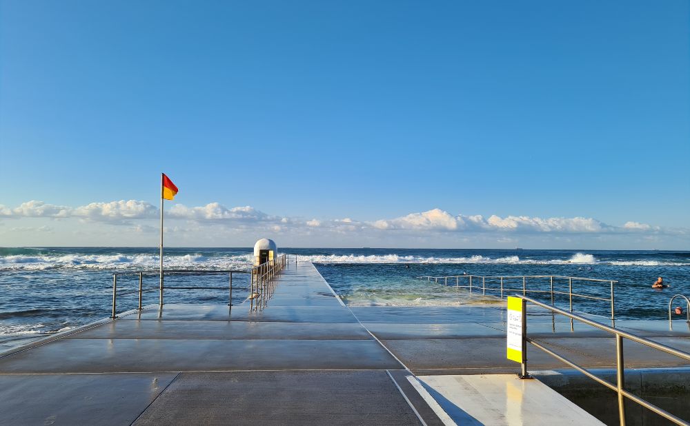
Most of the walk is dog-friendly; however, you need to take a 450m detour around the Memorial Walk section. The walk is not fully accessible with several sets of stairs at this stage, but we have heard there are plans to address this soon.
Local tip: Don’t miss the quick detour to see the historic Bogey Hole rock pool.
Length: 6km
Suggested time to complete: 2 hours
Public transport rating: Good, tram to start and buses from points along the way.
Bouddi Coastal Walk
This is our favourite walk on the NSW Central Coast. On our last visit, it rained on and off the whole weekend, but we decided to give it a go and can report it’s quite manageable in light rain.
We always start the Bouddi Coast Walk in the north and head south; I have never attempted it the other way because I don’t particularly appreciate walking into the sun.
- MacMasters Beach to Little Beach (1.7km)
- Little Beach to Maitland Bay (3.5km)
- Maitland Bay to Putty Beach (3km)
Mount Bouddi picnic area is also a good starting point or alternatively the visitors centre where you will find plenty of parking.
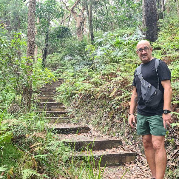
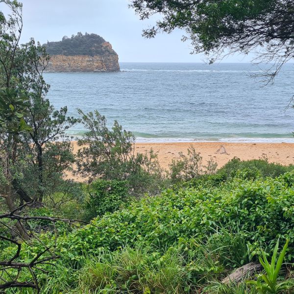
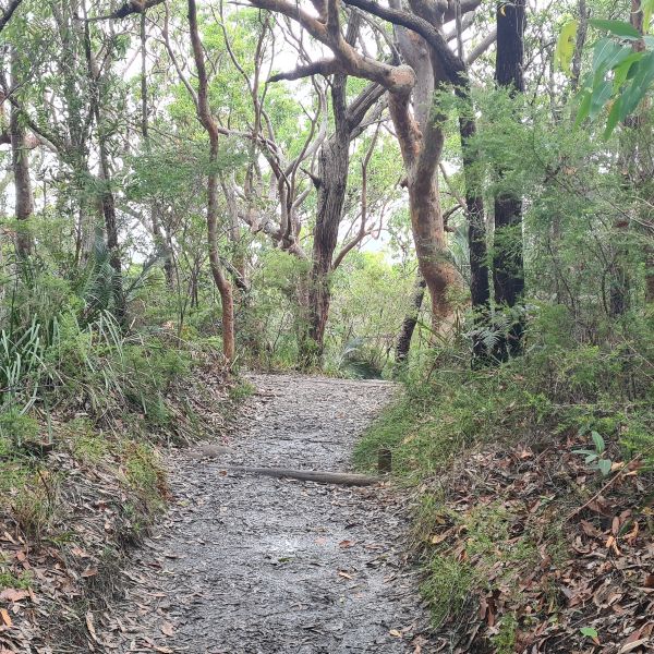
There are two campgrounds in the park, Putty Beach and Little Beach, that make a good base for the walk if you want to stay awhile. We usually base ourselves near Ettalong, where there is plenty of holiday accommodation. Killcare also makes a great base.
Local tip: When you have completed this walk stay longer and check out the track to Box Head.
Length: 8km
Suggested time to complete: 3-4 hours
Public transport rating: Good – bus, train and ferry to various parts of the walk, although planning is advised as services are not frequent.
Bondi to Manly Walk
This 80km walk opened in December 2019 and takes you from North Bondi to Manly Beach. Beginning at Bondi beach you walk along the Waverly Cliffs to Watsons Bay, then around the harbour foreshore to the Royal Botanic Gardens and Circular Quay.
The next section traverses Sydney Harbour northern harbour foreshore past Kirribilli, Mosman, Taronga Zoo and Balmoral Beach. The final stage takes in the Spit Bridge to Manly walk but then adds in a bonus stroll around the North Head Sanctuary before finishing at Manly Beach.
This is an iconic Sydney experience and is recommended for any visitor who can fit in 2-3 days of hiking into their trip. Along with panoramic views of the harbour and beaches, it is hard to find a better way to take some time out on your big city trip.
While it is long, it is not a difficult walk at all, I am not sure of the exact grade but I don’t feel like any of it is more than grade three.
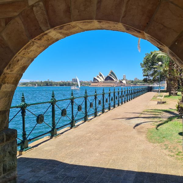
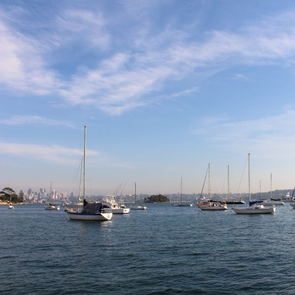
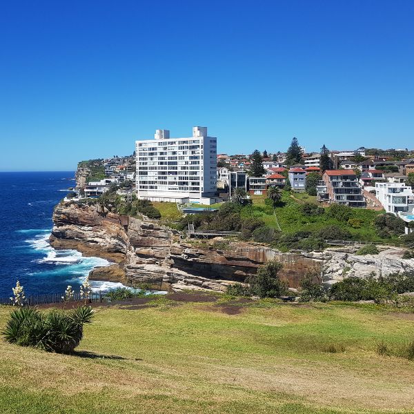
Transport between all sections of the walk is excellent, so you could base yourself in the city, lower north shore or eastern suburbs and quickly travel to each day’s starting point. The Sydney Harbour YHA makes a great budget base for this walk.
The Coast Track – Royal National Park
This walk in the Royal National Park stretches from Bundeena to Otford, and most Sydneysiders have done at least a small part of it. It’s often split into three sections, each with a highlight.
- The first is Bundeena to Wattamolla – which includes Wedding Cake Rock and Wattamolla Falls
- The next section includes Eagle Rock and Curracurrong Waterfall.
- The final stage includes Figure 8 Pool
The walk is very well signposted, and although it’s graded as a level 5 walk, we think the first two sections are much easier than the grading sounds.
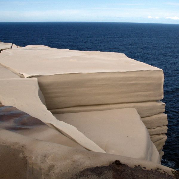
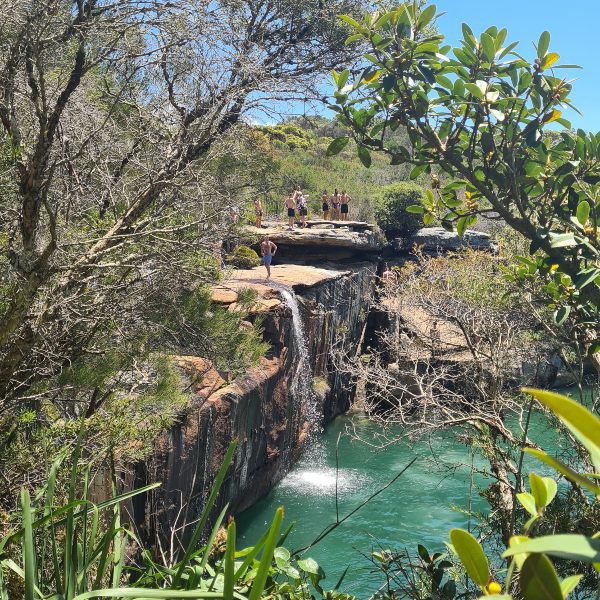
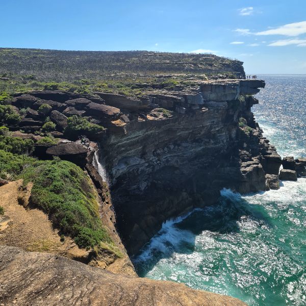
If you choose to do the walk over two days, there is a campground at North Era Beach that you must book. It is recommended you cover the first 18km on day one and leave just 8km for day two, which is the most difficult section of the track. The NPWS has shared a suggested itinerary here. We have also written a guide to the park for first-time visitors.
Distance: 26km
Suggested time to complete: 2 days with an overnight camp
Public transport rating: Excellent
Kiama Coast Walk
This walk is easily completed in one day although many people cover it in two sections over two days on a weekend visit to the area.
There are plenty of highlights along this route with the town of Kiama in the middle of the way. The town makes a great base for completing the walk over two days.
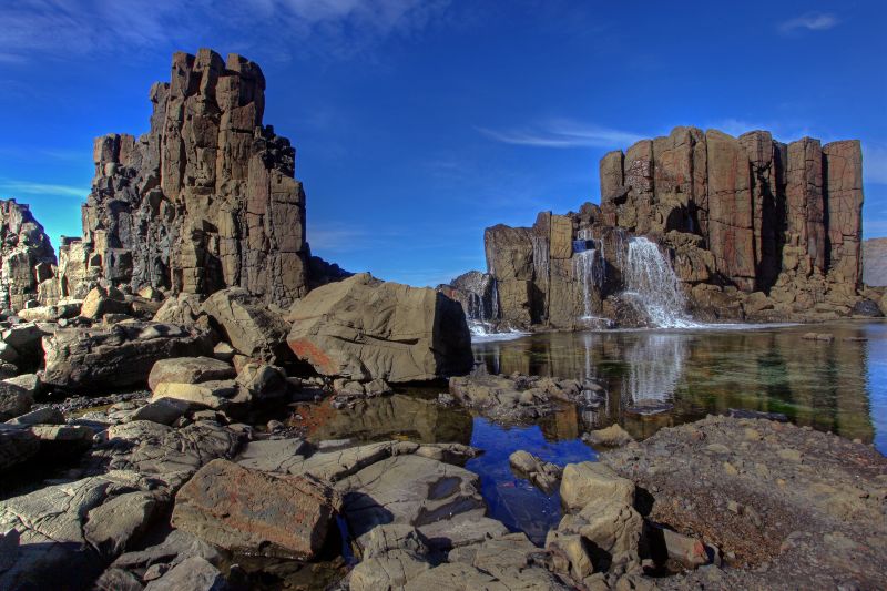
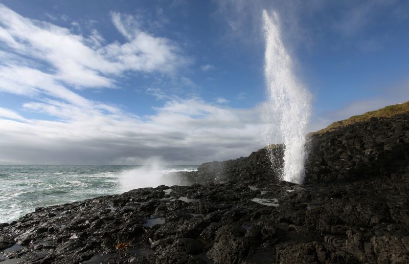
Don’t miss the northern section from Minnamuarra Point to Bombo Headland. The rocky landscape here is stunning, particularly in the early morning light. The next part of the walk will bring you to the famous Kiama Blowholes, a large and small one. There are also a few ocean pools and several beaches in the middle section of the walk.
The final stretch feels quite different with the trail passing through farmland and have you feeling miles from anywhere. The contrast of the lush green pastures that run right down to the water is simply stunning.
This walk is an excellent choice for families or those just starting on longer hikes as it’s a high reward for effort ratio. There are lots to do in Kiama so plan to stay awhile.
Length: 20km
Suggested time to complete: 6.5hrs one way.
Public transport rating: Very good – train stations at start and finish
White Sands Walk
This easy walk from Greenfield Beach in Vincentia to Hyams Beach traverses Jervis Bay National Park and is one of our favourites on the NSW South Coast. Best of all it does not take long so you can and is perfect for a family adventure.
The walk takes you past four of the area’s most beautiful beaches and has you desperate to take a dip in the aquamarine water at every turn.
There are bird spotting signs at the beginning of the walk and you will likely meet quite a few along the way.
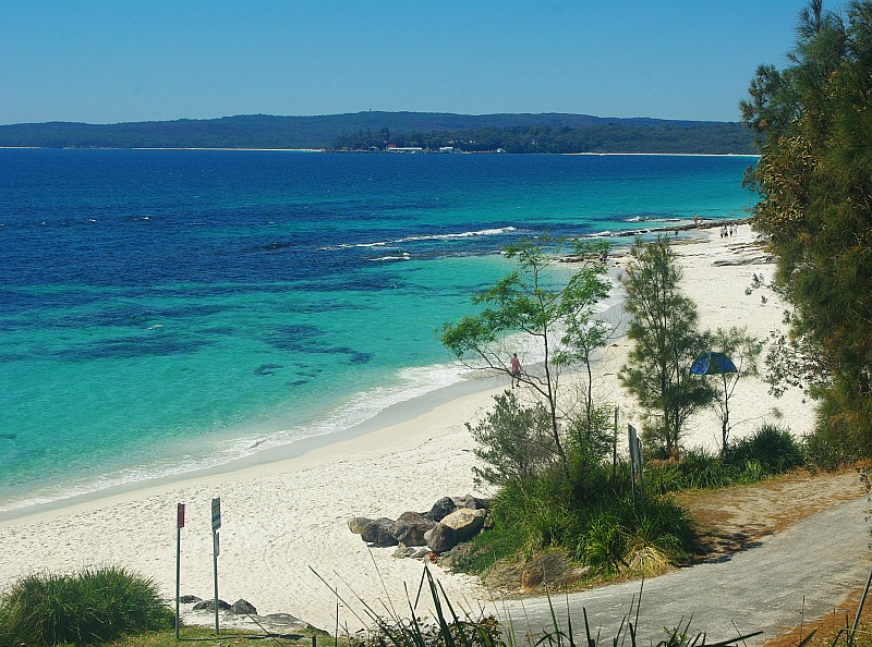
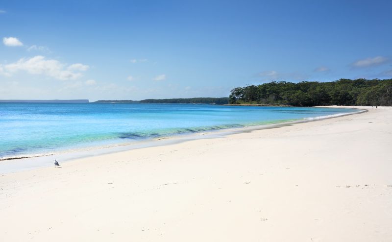
Jervis Bay White Sands Walk
Return via Scribbly Gum Track to turn this into a loop track. There are some stairs on the Scribbly Gum track and it’s a little steep in spots but nothing too challenging.
Check out our guides to Mollymook and Jervis Bay while you are in the area.
Length: 6km
Suggested time to complete: 2 hours
Public transport rating: Your own transport is recommended although there is a local taxi service.
Bingi Dreaming Track
This walk in Batemans Bay was a major trade route used by the Brinja-Yuin peoples. The walk starts south of Narooma at Congo Point and follows the coastline into the Eurobodalla National Park to Tuross Head.
The track is an easy one, mainly flat and gentle inclines. It can be completed in a little over five hours. There is a good chance of spotting whales between May and November.
You could choose to base yourself at Congo Point campground or the caravan park in Moruya. It’s helpful to have a car at each end to save backtracking.
Length: 13.5km
Suggested time to complete: 2 or 3 days
Public transport rating: Own transport required.
Light to Light Walk – Ben Boyd National Park
The Light to Light walk in Ben Boyd National Park is considered the best walk on the far south coast of NSW. The track stretches from historic Boyds Tower in the north to Green Cape Lightstation 30km south. While Boyd Tower was built to be a lighthouse this never came to be. It was privately built by Ben Boyd and deemed unsuitable by the NSW state government for use as an official lighthouse. It was instead used as a spotting tower by whalers in the area.
The mother of Australian Saint Mary McKillop was shipwrecked off this section of coast.
If you don’t have the time or inclination to do the entire Light to Light track, the section between Saltwater Creek and Bittangabee Bay is a good choice for a day walk. At 9km, it’s not a huge commitment and includes lovely views of the Green Cap Lighthouse.
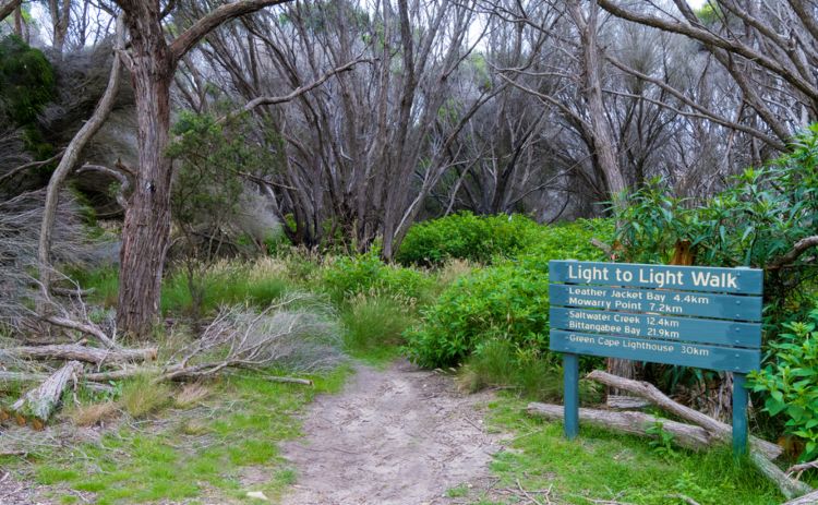
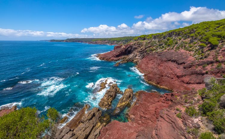
Bittangabee Bay was the site of a whaling station run by the Imlay Brothers. Also along this section are the ruins of Imlay House, built by the Imlay Brother who all had died or left the area before the building was completed.
There are not a lot of amenities along the route, so be sure to carry enough water for your day’s needs.
Tip: Before you walk, pop into the Killer Whale Museum in Eden to learn more about the history of this interesting stretch of coastline.
Length: 30km
Suggested time to complete: 2 days recommended although the very fit could do it faster.
Public transport rating: A car is your best bet although local accommodation operators will usually offer to drop you at the start of the walk.
If you are a waterfall lover don’t miss the Atherton Tablelands in QLD, the Waterfall Way in NSW and the Gold Coast Hinterland.
Got a question? Head over to our Australia Travel Tips Facebook Group and ask a local.

Some lovely coastal walks to explore in beautiful NSW! This is a great list & includes some I know & some yet to do! Thanks so much for sharing your tips & experiences!
I have done a few of these…or sections of them & can’t wait until I can get back & do a few others with my family & friends. Happy memories of all of the walks I’ve done along these coastal stretches. Look forward to trying out more!